
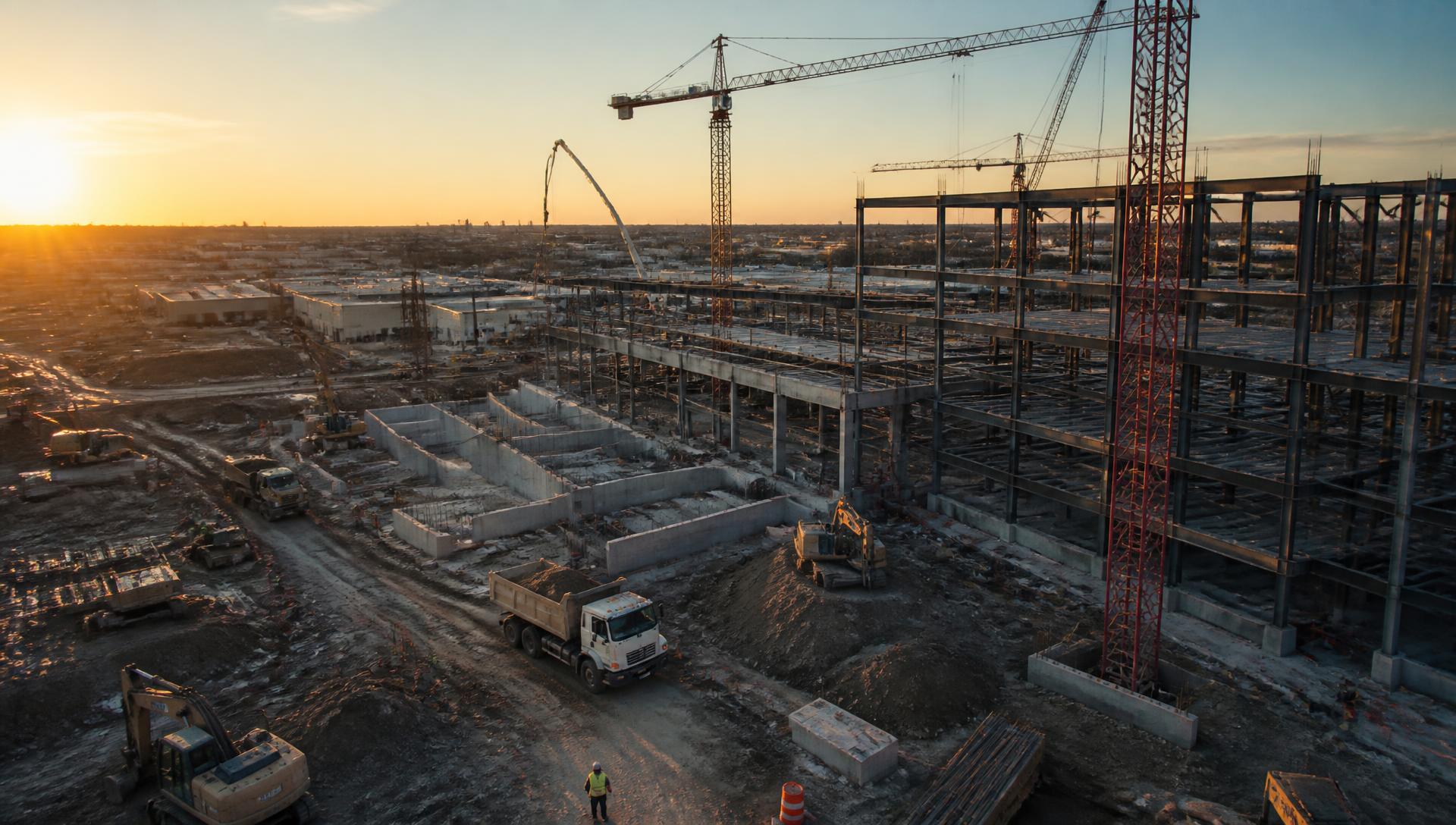
Precision Aerial Intelligence for Construction, Infrastructure & Government Projects
Next Tier Aerial delivers aerial inspections, mapping, project documentation, and visual intelligence that helps organizations monitor progress, reduce risk, and make informed decisions.
- 140+
- Commercial Missions
- 24hr
- Standard Turnaround
- 100%
- Part 107 Compliance
- 6
- States Served
Built for the organizations that deliver critical projects
We work inside the workflows of contractors, engineers, agencies, and asset owners — not around them.
Aerial data programs scoped to project outcomes
Six service lines that support preconstruction, execution, inspection, closeout, and asset management.

A professional partner, not a pilot for hire
We are accountable for data quality, schedule adherence, and site safety on every engagement.
Precision
Ground control, repeatable flight paths, and calibrated sensors deliver measurable, defensible data.
Reliability
Scheduled captures, predictable turnaround, and a single point of contact for the life of the project.
Safety
Site-specific risk assessments, PPE compliance, and coordinated airspace authorizations on every mission.
Professional Reporting
Structured deliverables your PMs, engineers, and owners can drop directly into project controls.
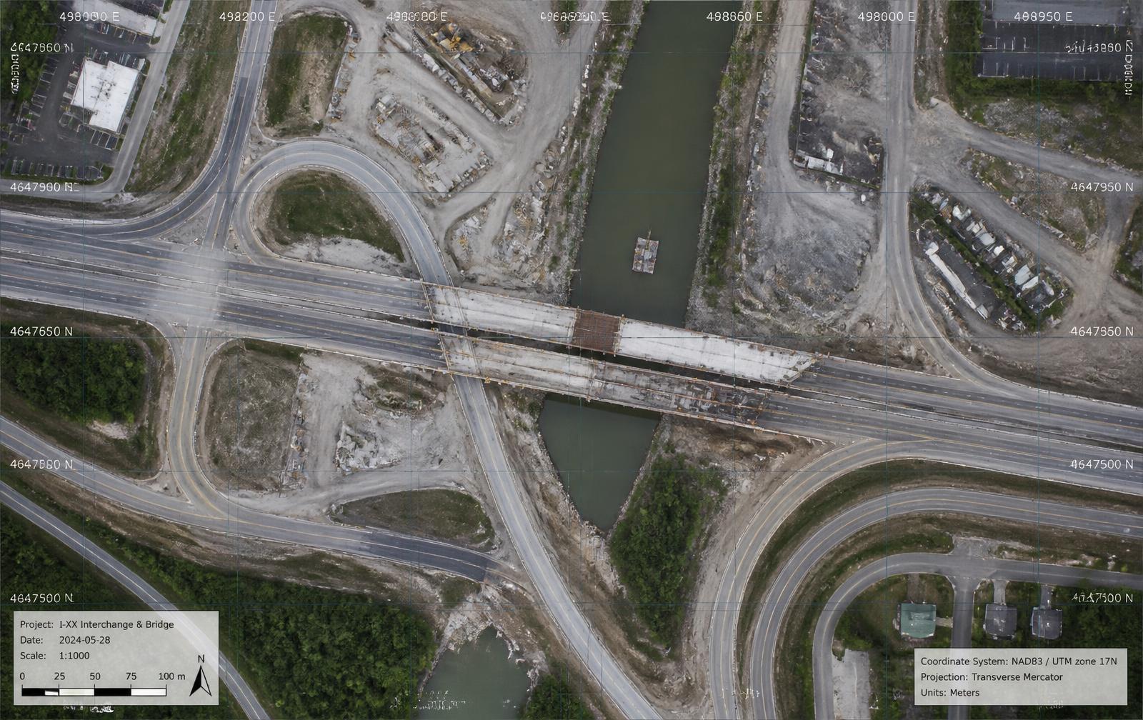
I-XX Interchange & Bridge Replacement Program
Project Summary
A state transportation program required monthly documentation of staged bridge demolition and interchange reconstruction across a two-mile corridor. Next Tier Aerial established fixed capture geometry and survey-controlled mapping to track earthwork quantities and stage completion without closing active lanes.
Deliverables
- Monthly 2cm/px orthomosaics
- Earthwork volumetric reports
- 3D corridor mesh + point cloud
- Stakeholder progress video
- Annotated inspection stills
Outcome
Field verification hours were reduced by an estimated 40%, and monthly owner reporting moved from narrative summaries to measurable, image-backed evidence.
View PortfolioA disciplined workflow from kickoff to deliverable
Discover
We review scope, schedule, site constraints, airspace, and the decisions your team needs the data to support.
Capture
Certified operators execute the flight plan with documented safety procedures and repeatable capture geometry.
Analyze
Imagery is processed, georeferenced, and reviewed against prior captures, design models, and inspection criteria.
Deliver
Reports, maps, models, and media are delivered in your preferred formats through a secure project portal.
Capability Highlights
Let's Elevate Your Project Visibility
Tell us about your site, schedule, and reporting requirements. We'll scope a flight plan and deliverable package built around your project controls.